Bahrain’s land use report digs deep into large-scale developments
TDT | Manama
The Daily Tribune - www.newsofbahrain.com
The Urban Planning and Development Authority has detailed land use across the kingdom’s governorates in a comprehensive report published on its official website.
The latest data shows that agricultural areas cover 3.02% of Bahrain’s total land, while investment areas constitute 3.03%.
Industrial zones occupy 4.37% of the land, with commercial areas taking up a mere 0.41%. Public service and utility infrastructure spans 8.89% of the kingdom’s territory, and Ministry of Housing projects account for 3.90%.
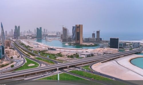
Large-scale developments, grouped under special project areas, make up a notable 33.14% of Bahrain’s land usage.
Green belt areas cover 0.34%, protected areas account for 23.35%, archaeological sites occupy 0.031%, recreational and park areas comprise 2.65%, airport land makes up 2.04%, unplanned or undeveloped areas total 1.41%, and other areas account for 1.22%.
This comprehensive land use data sheds light on Bahrain’s urban development priorities and the allocation of its limited land resources.
It is expected to guide future planning efforts aimed at managing growth and ensuring the sustainable use of the Kingdom’s territory
Related Posts

