UAE forum on satellite and drone technologies
TDT | Dubai
Email: mail@newsofbahrain.com
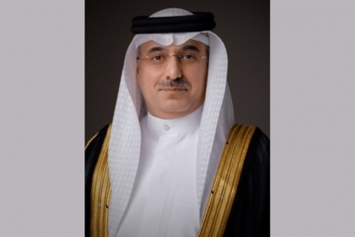
Bahrain Space Agency (BSA) Chief Executive Dr. Mohamed Al Aseeri participated in a workshop organised by the Emirati Society for GIS and Remote Sensing in cooperation with the Mohammed bin Rashid Space Centre (MBRSC), on drones, innovation in air pollution and climate research.
The participation aimed to highlight the role of space technologies, particularly satellites, in supporting efforts to monitor environmental pollution and study climate change.
Al Aseeri emphasised that satellites are a vital tool for collecting accurate and comprehensive data on atmospheric conditions and pollutant concentrations, thereby ensuring the continuous availability of up-to-date information to support decision-making processes.
He noted that when satellite data is integrated with drone technologies, it forms a comprehensive system for monitoring environmental and climate changes with high precision.
Cooperation
Dr. Al Aseeri highlighted the importance of strengthening cooperation between the BSA, research institutions, and environmental bodies to develop joint projects based on satellite data, noting that such efforts support the achievement of sustainable development goals at both the local and global levels.
The workshop discussed how satellite and drone data can be employed to develop accurate predictive models for climate change and air quality, with successful examples of such applications presented from the UAE.
Related Posts

