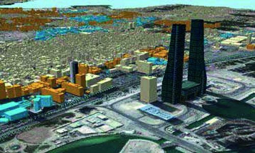
3D mapping of Kingdom
Manama : Bahrain’s Survey and Land Registration Bureau yesterday announced plans for developing a new generation advanced, live-updated, high-resolution 3D maps of Bahrain.The project, aimed at future innovations in the field of autonomous vehicles, was announced at the Gateway Gulf Forum held at the Four Seasons Hotel in Bahrain Bay.
Speaking on the announcement, Naji Sabt, Director General, Survey and Land Registration Bureau, said: “This map is an important step that will provide the government with a constantly updated 3D view of all roads and surrounding infrastructure.” The move, he said, will play a key role in supporting public and private agencies in areas such as road maintenance, security, urban planning, postal service and public transport.
The project will also lay the groundwork for innovations in transportation including autonomous driving, to help improve efficiency across roads, building on the Kingdom’s strong track record in test-bedding new technologies and innovative solutions.
It added that the next stage of the project will focus on facilitating commercial partnerships with global organizations.
Related Posts

