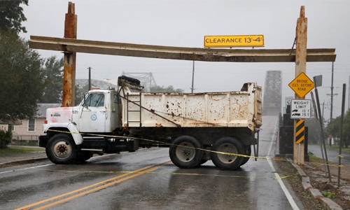
Barry batters Louisiana
Tropical Storm Barry buffeted the US state of Louisiana yesterday, bringing warnings of heavy rain and possible tornadoes even as it weakened. After briefly becoming the first hurricane of the Atlantic season, Barry was downgraded to a tropical storm after making landfall Saturday. It nevertheless packed a serious punch as it moved inland, though there were few indications of widespread flooding.
Flights in and out of the airport in the state’s biggest city New Orleans resumed Sunday after all were canceled a day earlier. Thousands of people had abandoned their homes, tens of thousands lost power and first responders were poised for action. Fears that the levee system in New Orleans could be compromised eased after the Army Corps of Engineers voiced confidence that it would hold, but Mayor LaToya Cantrell urged residents not to be complacent. “We are not in any way out of the woods,” she said, adding that flash flooding could still occur into Sunday.
President Donald Trump warned of “major flooding in large parts of Louisiana and all across the Gulf Coast. “Please be very careful!” he said on Twitter. Louisiana Governor John Bel Edwards said Saturday that the storm would intensify into Sunday, with many areas seeing more rain overnight than they had during the day. “Don’t let your guard down thinking the worst is behind us,” he told a press conference.
At 8:00 am (1200 GMT), the storm packed maximum sustained winds of 45 miles (72 kilometers) per hour and was located southeast of Shreveport in western Louisiana, moving north at six miles per hour, the National Hurricane Center said. “Barry is forecast to weaken to a tropical depression later today,” the NHC said. Pete Gaynor, acting administrator of the Federal Emergency Management Agency, told Fox News “there are still life-threatening conditions that exist” as Barry moves north. “The rain is the threat,” he added, not only while it falls but in a couple of days when floodwaters move back down the Mississippi River to the Gulf of Mexico.
Tornadoes were possible in parts of Louisiana, Mississippi, western Alabama and eastern Arkansas, the NHC said. Rainfall estimates had been lowered to between six and 12 inches (15 to 30 centimeters) over south-central Louisiana but rivers and canals across the state’s south were full. The heavy winds scattered tree branches across roads and knocked over road signs, and in St. John’s Parish next to New Orleans, local television footage showed some areas under two or more feet (60 centimeters) of water.
Related Posts

